September 16th, 2018 by WCBC Radio
The National Weather Service in Sterling Virginia has expanded
the

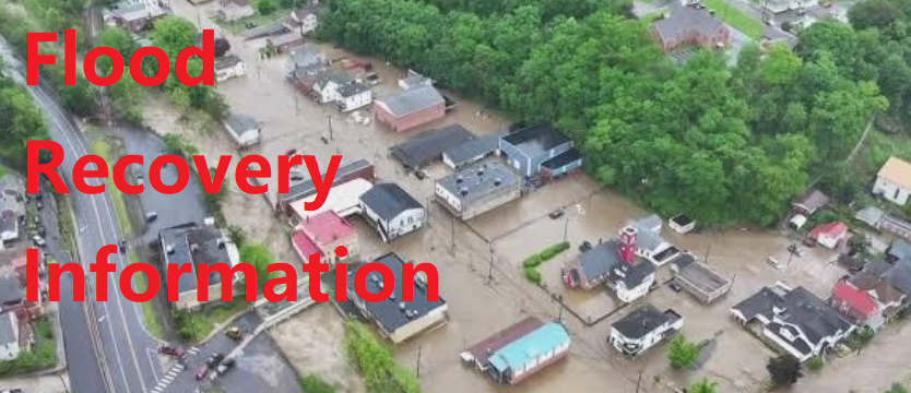
* Flash Flood Watch to include portions of western Maryland and
  eastern West Virginia, including the following areas, in
  western Maryland, Central and Eastern Allegany and Extreme
  Western Allegany. In eastern West Virginia, Eastern Grant,
  Eastern Mineral, Hampshire, Hardy, Western Grant, and Western
  Mineral.

* From midnight EDT tonight through Monday evening

* Moderate to locally heavy rain will overspread the area late
  tonight into Monday morning. The steadiest rain may move out
  of the area Monday afternoon, but additional showers and
  isolated thunderstorms are likely through Monday evening. More
  locally heavy rain is possible during this time.

* Average rainfall amounts of 1 to 3 inches are expected, with
  locally higher amounts especially over east facing slopes of
  higher terrain. This rain may result in rapid rises of water on
  creeks and streams as well as urban areas.

PRECAUTIONARY/PREPAREDNESS ACTIONS...

A Flash Flood Watch means that conditions may develop that lead
to flash flooding. Flash flooding is a very dangerous situation.

You should monitor later forecasts and be prepared to take action
should Flash Flood Warnings be issued.


.jpg)


